
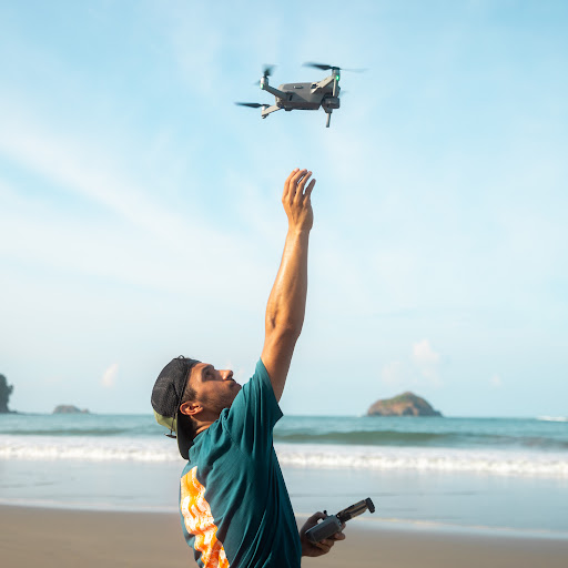
Mapping large areas used to be challenging when using traditional quadcopter drones. However, in this video, we will explore the Quantum Systems Trinity Pro fixed-wing VTOL drone. Our client is considering using VTOLs instead of their traditional enterprise quadcopters, and they have turned to us to test and assess the efficiency of this system.
🚩Become A Member Here For EXCLUSIVE BTS Content: youtube.com/c/dylangorman/join
► Subscribe to my channel here: @DylanGorman
Master Drone Mapping (Online Course): www.pilotbyte.com/drone-mapping-mastery
Learn more about the Trinity Pro here: bit.ly/3Sr9QfQ
Quantum Systems YouTube: @QuantumSystems
Quantum Systems LinkedIn: www.linkedin.com/company/quantum-systems-gmbh/
—
► Join us on Pilot Byte! Our platform provides current and aspiring drone operators with information and resources to promote growth and development in the drone industry: www.pilotbyte.com/
__
Follow me online!
LinkedIn: www.linkedin.com/in/dylan-g-099961101/
Instagram: www.instagram.com/dylang_1
—
Chapters
00:00 Intro
00:56 What Are VTOLs?
01:28 The History Of VTOLs
03:18 Client Call For Data Capture Project
04:58 Mission Planning w/ QBase
07:10 Setting Control On Site
07:42 Flying The Trinity Pro VTOL!
08:42 Data Processing Workflow
11:49 Ortho Data Review
13:04 LiDAR Data Review
14:09 Client Feedback
15:27 Are VTOLs The Next Big Thing
#QuantumSystems #TrinityPro #LiDAR #SonyRX1 #QBase3D #photogrammetry #mapping #surveying
 Dylan Gorman
コメント